Uwharrie River record low water
Published: September 5th, 2022
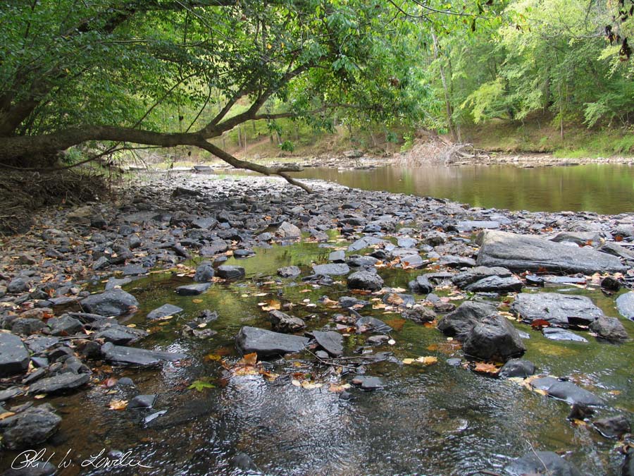
The summer and fall of 2007 were dry. That year I made a few trips to the Uwharrie River to photograph the water levels. I made a trip on October 2nd.
That day I took a series of pictures, first stopping at the Low Water Bridge. Next I stopped along the side of Uwharrie National Forrest Service Road 555. I finished the day by walking to the end of UNF SR 555 (Cotton Place). You can find a selection of those pictures in this Google Photo Album.
In the fall of 2019 I found a United States Geological Survey online data archive. Field measurements listed October 2nd, 2007 as the lowest recorded streamflow and gauge height for the Hwy. 109 bridge gauge.
The field measurement data can be found at Water data USGS. I have included screen captures in the Google Photo album.